Mica View Loop Trail, Arizona
Total Distance: 3.7 miles
Elevation Gain: 121 feet
Trail Type: Loop
Difficulty: Easy
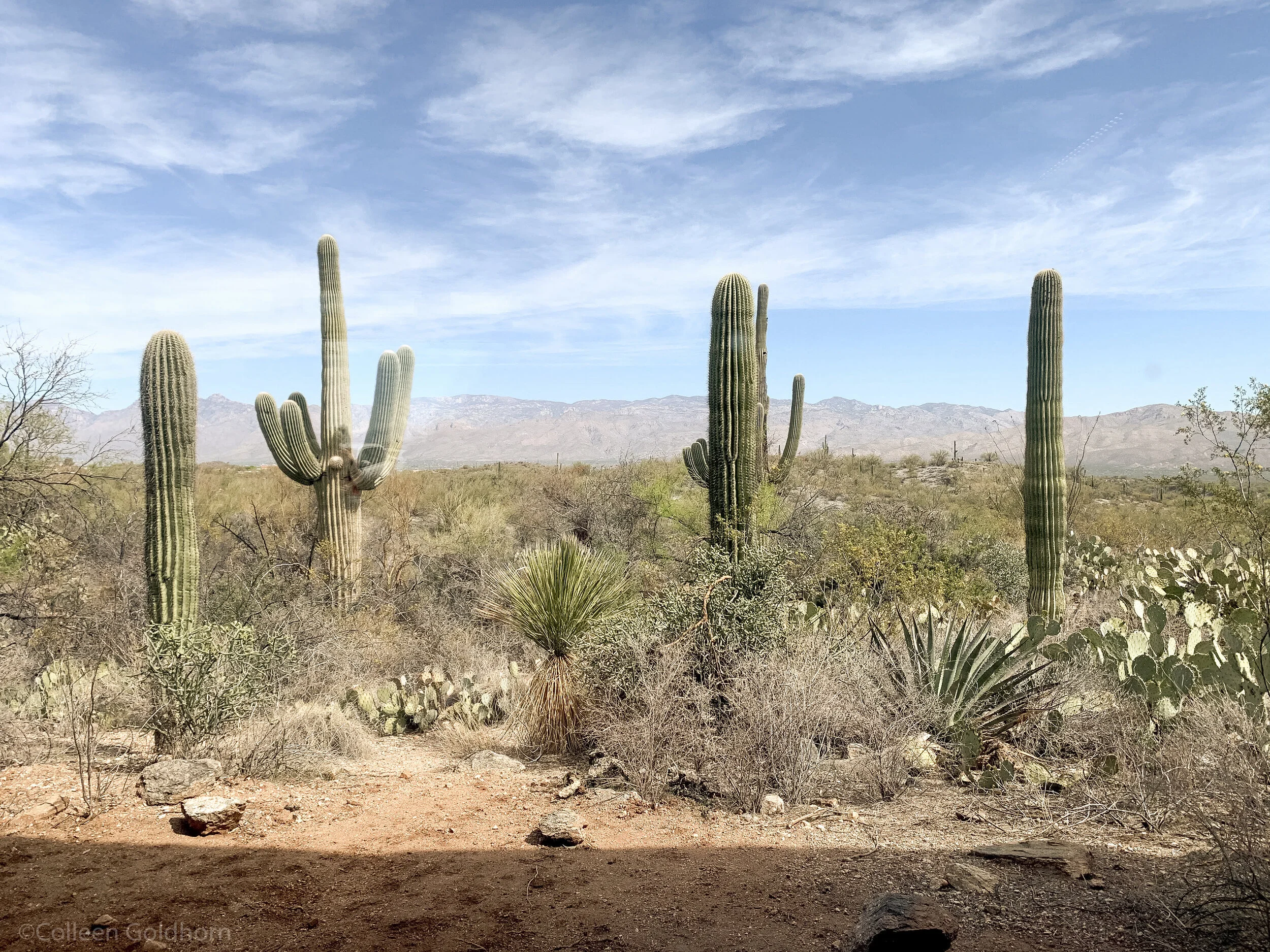
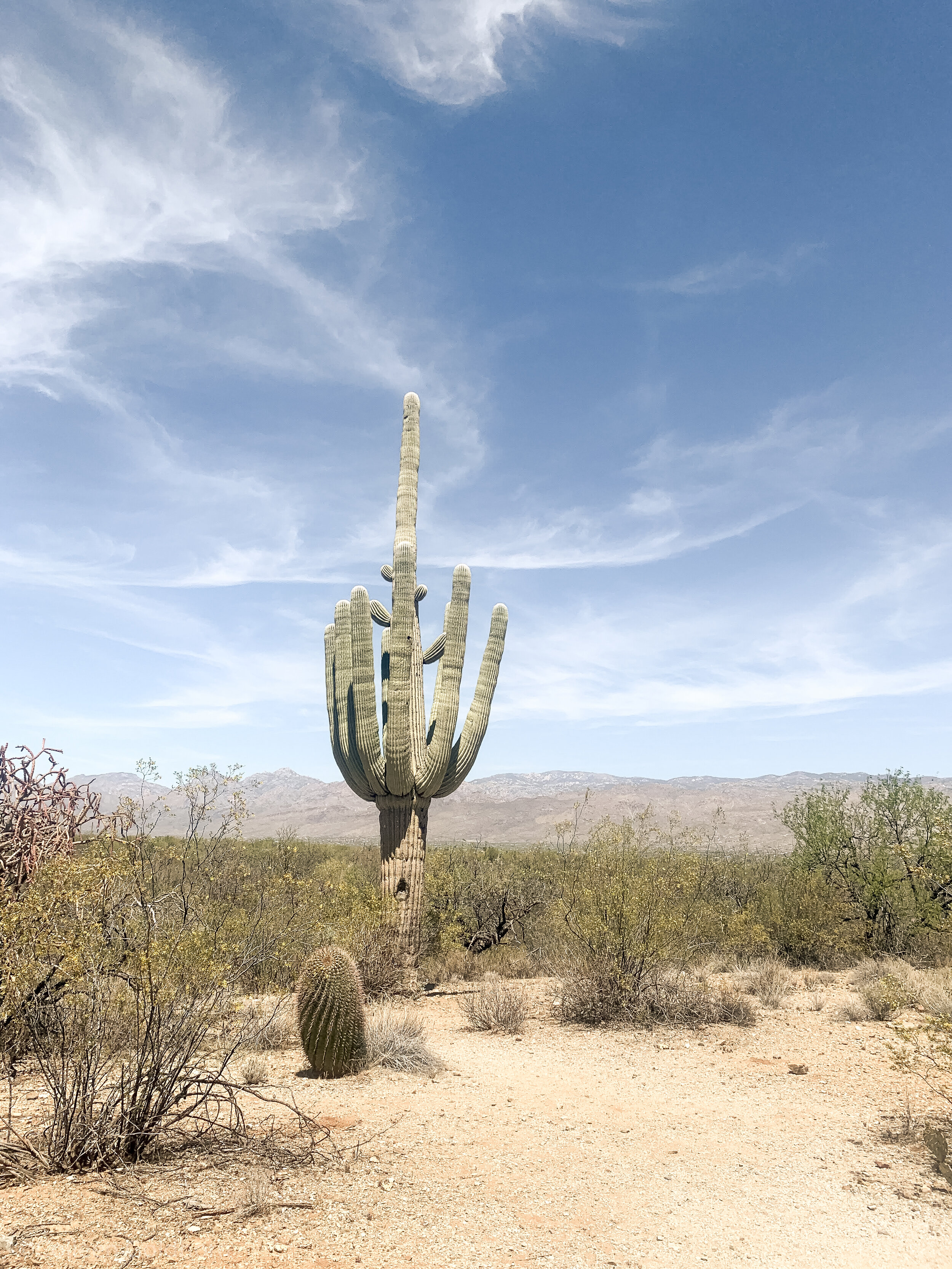
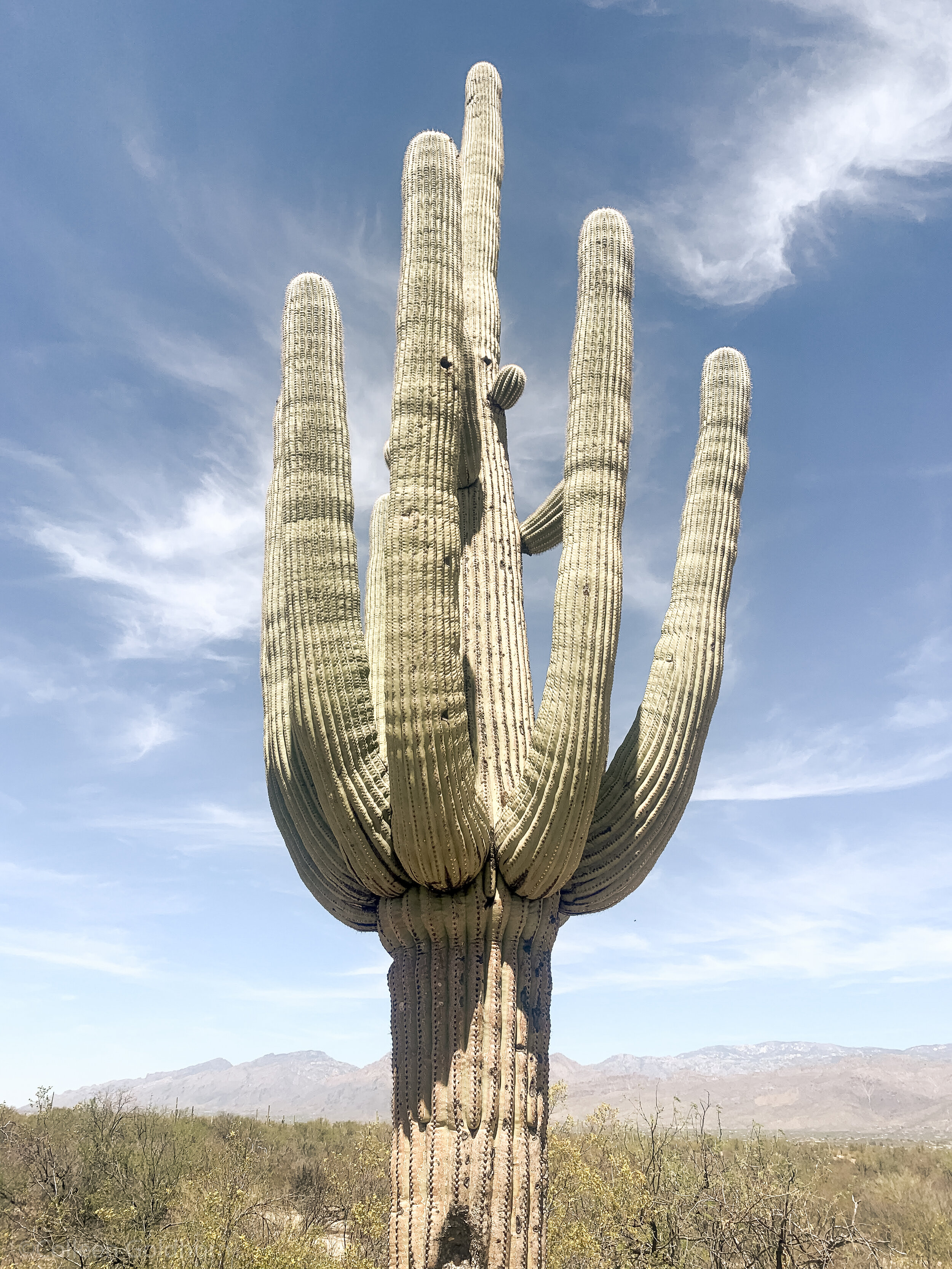
The Hike: Perfect for families, elderly hikers, or those who just want an easy stroll around the desert, the Mica View Loop is the perfect way to enjoy the towering Saguaros that are the crown jewel of this national park.
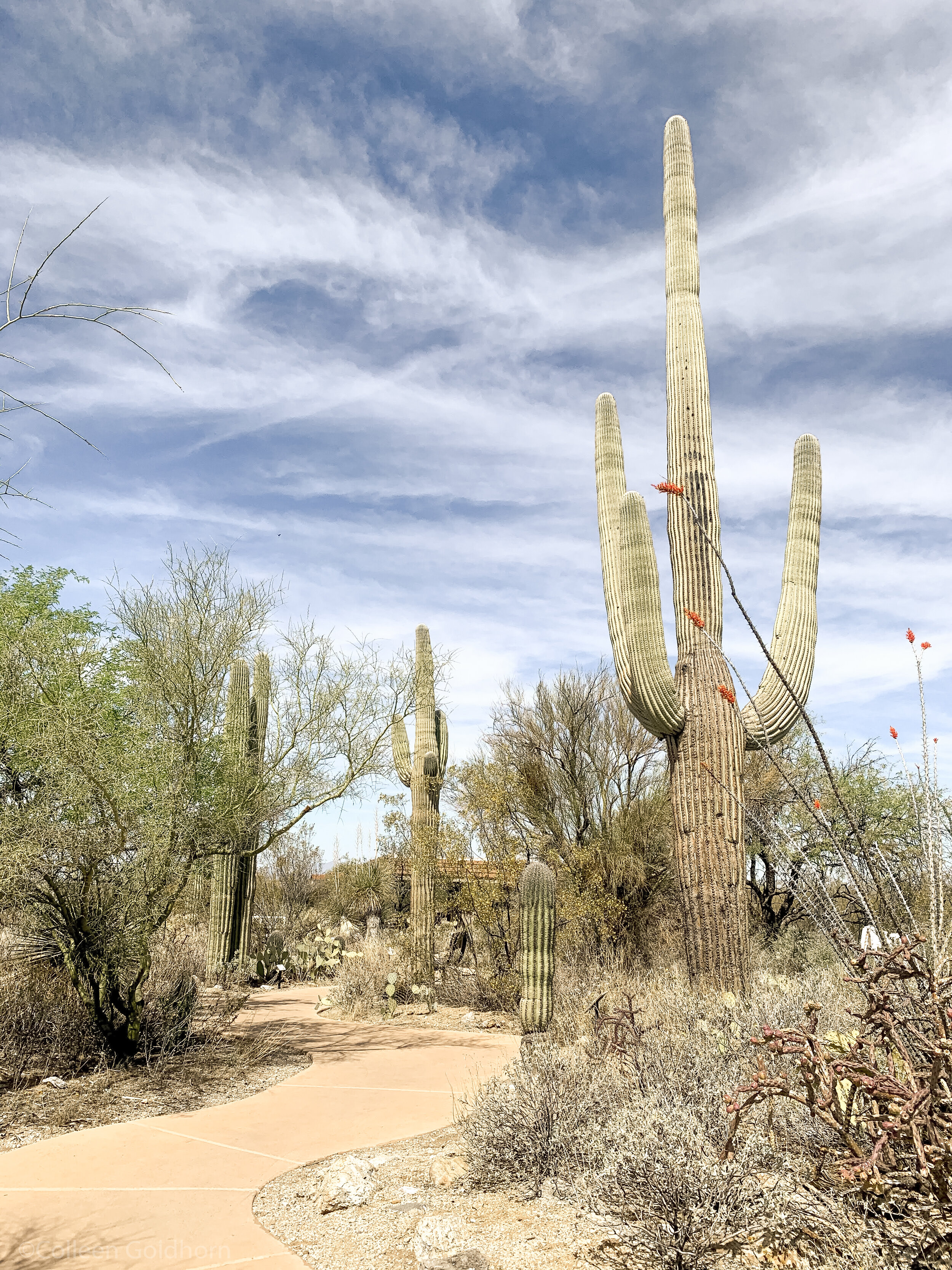
The first quarter mile of the trail will be a paved sidewalk that winds through the desert, making sections of this trail ADA accessible, and great for strollers as well. After the sidewalk ends, the dirt trail stays relatively smooth and flat as it gives hikers a first-hand look at not only Saguaros, but the countless other desert cactuses and plants that cover this “green desert”.
The trail gets its name from the picnic area towards the middle of the loop. It is known as one of the places in the park to view Mt. Mica – which is the highest point in the park at 8,668 feet.
Note: As with most hiking in the Sonoran Desert, trails in Saguaro National Park often provide little shade from the oppressive desert sun. Plan to hike early or late in the day, always wear sun protection, and bring more water than you think you’ll need. Need more desert hiking tips? Read our blog post for the ins and outs of desert hiking.
The Details: Park at the Broadway Trailhead, which is located in the East section of the park. Multiple trails start and end at this location, so it pays to be mindful about following signs for the Mica View Loop. Follow along the flat path that is surrounded by cactuses until you reach the Mica View picnic area and parking lot.
From there, keep following signs for the Mica Loop, which will take you along a sandy wash, past towering saguaros, and eventually back to your car at the trailhead.
Alternatively, you could look at a map, and combine a few of the trails in the area to create a loop all your own starting at the Broadway Trailhead.
Gear: For this hike, we recommend bringing along either the Winter or Summer Day Hike Essentials, depending on the season.
*The information in this article is for planning purposes only. Actual trail conditions may vary depending on environmental factors. It is always advised to get the latest trail information from a park office or ranger before you begin your hike.