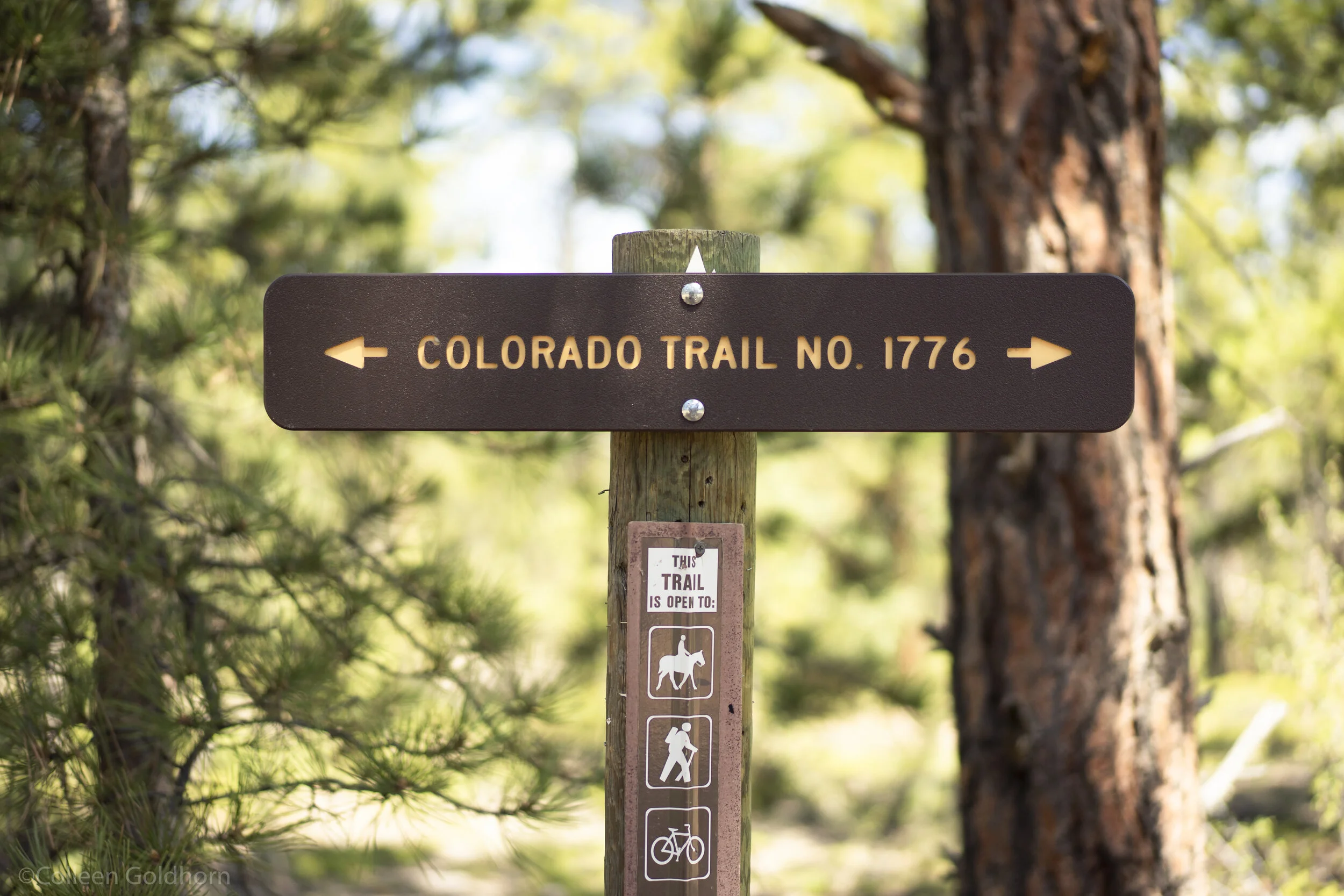
Colorado Trail: Segment 2, Colorado
Total Distance: 11.5 miles
Elevation Gain: 2,4,82 feet
Trail Type: Point-to-point
Difficulty: Moderate
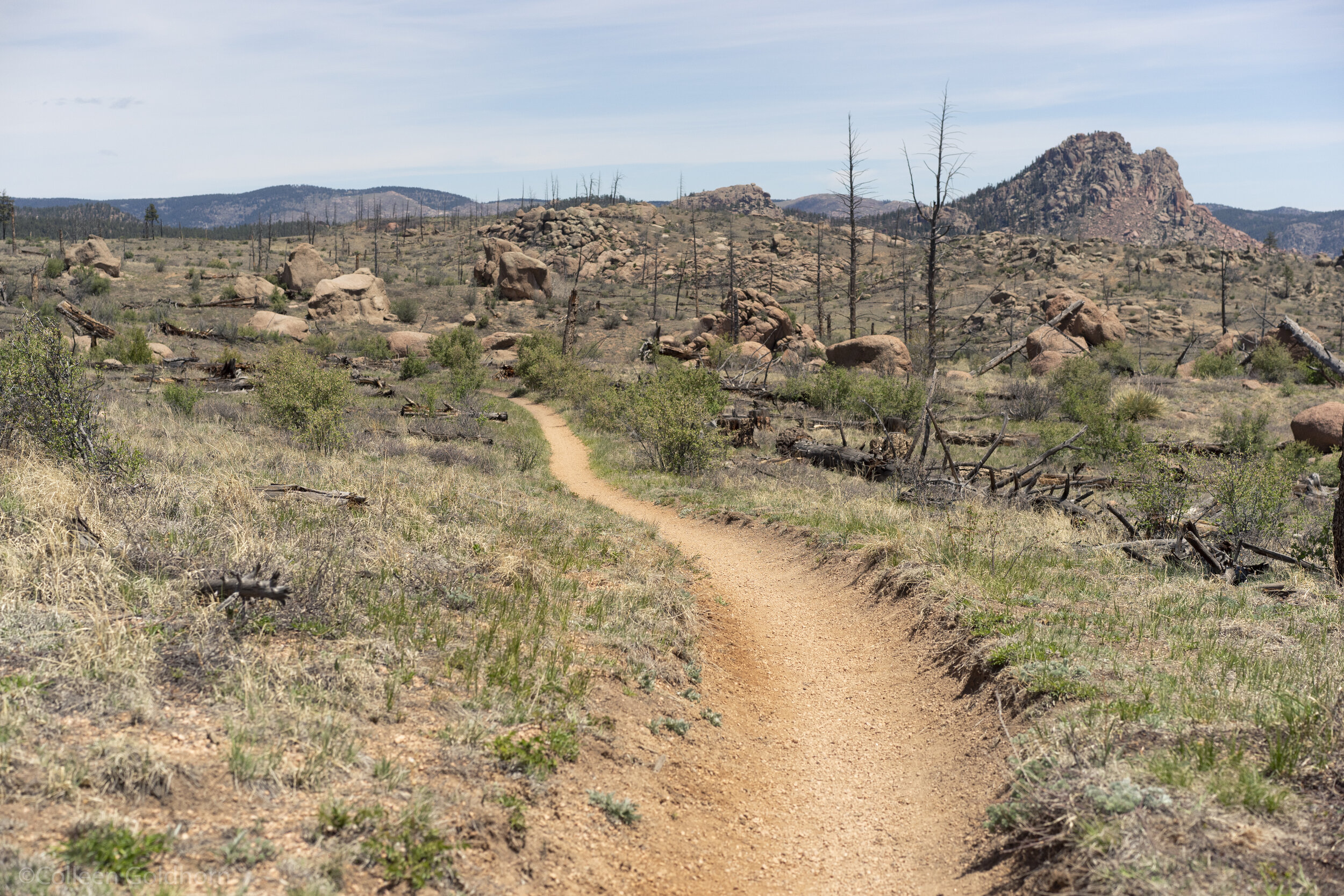
The Hike: Although the vast majority of this section was the unfortunate victim of a devastating forest fire, this barren landscape actually makes for an interesting change of scenery in the Colorado mountains. The trail travels straight through this burn area, and consequently resembles a hot, semi arid climate.
Starting along the banks of the Platte River (if walking southbound), the trail quickly starts climbing up into the burn zone. The openness of area leaves unobstructed views along the 11 mile hike, and makes for a unique change of pace from most other sections of the trail. After your initial climb, the trail is pleasantly smooth and relatively flat for the remainder of your hike. Paired with the vast openness and endless views, this makes for a really beautiful and enjoyable day spent in the mountains.
The Details: To complete the whole section it is recommended to take two vehicles and park them at either trail head, or to park at one trailhead and have a Colorado Trail shuttle driver take you to the other. If walking southbound, hikers will start at the South Platte River Trailhead (mile 16.8), and finish their day at the Little Scraggy Trailhead (mile 28.3).
Wear sunscreen and bring proper clothing as there is very minimal shade in this area, and both sunburn and heat exhaustion are a real risk.
After starting along the banks of the Platte River, the trail will immediately start climbing up into the burn zone. After finishing this roughly 5 mile climb, the vast majority of the section is smooth and “flat” which makes for pleasant hiking with plenty of views.
Gear: For this hike, we recommend bringing along either the Winter or Summer Day Hike Essentials, depending on the season. Micro-spikes or Snowshoes are strongly advised in the winter.
*The information in this article is for planning purposes only. Actual trail conditions may vary depending on environmental factors. It is always advised to get the latest trail information from a park office or ranger before you begin your hike.


