Clingman’s Dome, Tennessee
Total Distance: 1.2 miles
Elevation Gain: 331 feet
Trail Type: Out-and-back
Difficulty: Easy
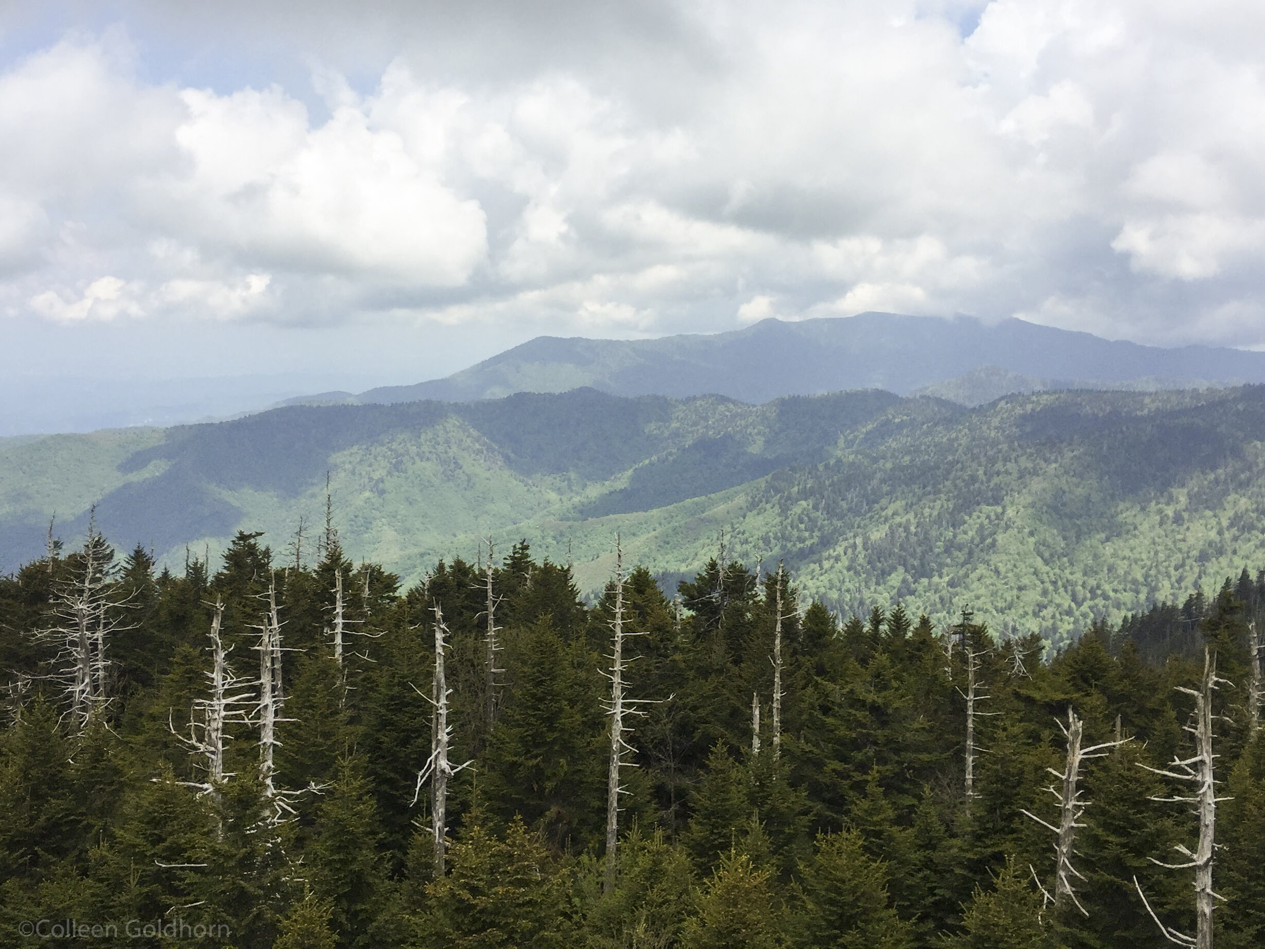
The Hike: Perched at a towering 6,643 feet, Clingman’s Dome is not only the highest point in Great Smokey Mountains National Park, but the highest point in the state of Tennessee, as well as the third highest mountain east of the Mississippi.
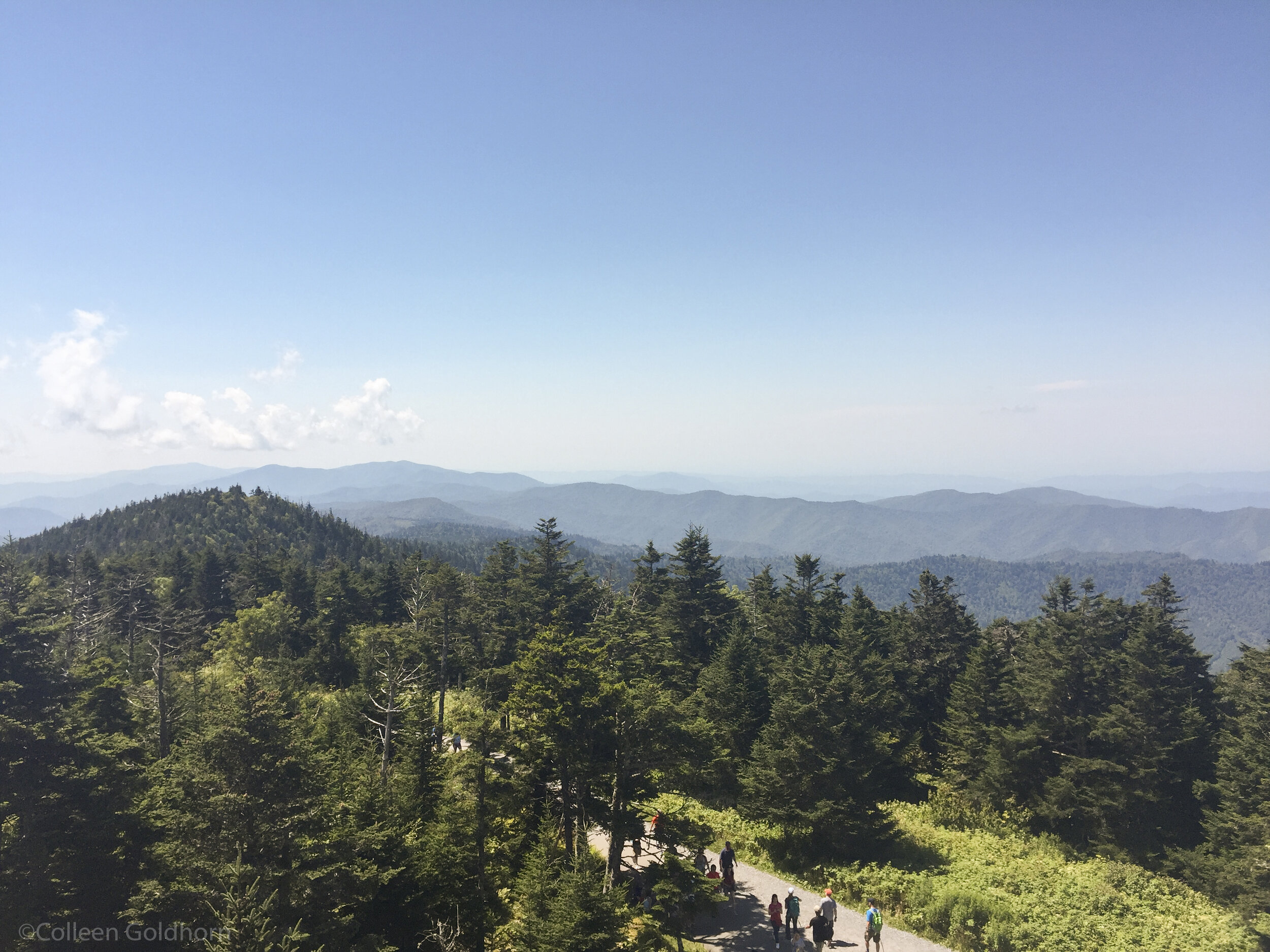
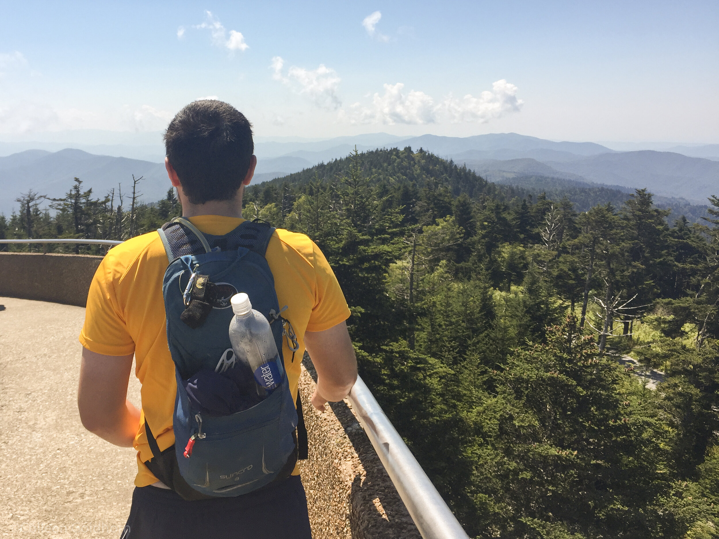
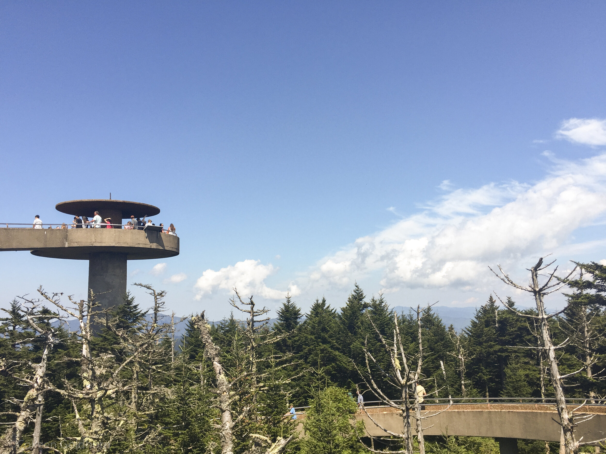
To celebrate this iconic spot, an observation tower was built on the summit in 1959. The tower offers 360° views, and a chance for both families and those with disabilities to experience the insane views from the top. The park has constructed a .5 mile paved “trail” that takes hiker’s to the base of the tower, and the tower itself has an ADA accessible ramp to get to the top. On clear days – which are happening less and less due to air pollution in the area – visitors can see 100 miles over the Tennessee mountains.
If planning to hike to the tower, it pays to pack an extra layer. Temperatures at the top are known for being 10- 20°F cooler than the surrounding areas of the park.
The Details: Although Clingmans Dome is technically open year-round, the main road leading up to the parking area is closed yearly December 1 - March 31. The road is occasionally closed earlier or in the summer months depending on weather conditions. Pets and bikes are not permitted on Clingman’s Dome – or on any trail in the park.
Start your hike by driving along Clingman’s Dome Road for 7 miles. There are multiple pull offs along the road that offer views of the park’s famous mountains, as well as the valleys below. After parking in the large parking area, walk up the paved trail toward the observation area. The trail is somewhat steep at times, but there are endless views and multiple benches to take a break as needed.
Once finished at the top, retrace your steps back to the parking area.
Gear: For this hike, we recommend bringing along either the Winter or Summer Day Hike Essentials, depending on the season. Micro-spikes or Snowshoes are strongly advised in the winter.
*The information in this article is for planning purposes only. Actual trail conditions may vary depending on environmental factors. It is always advised to get the latest trail information from a park office or ranger before you begin your hike.